OGC API-Features |
OGC API-Features is a standard composed of multiple parts (see table below for details) that provides the ability to create, modify, and query spatial data on the Web, and specifies requirements and recommendations for APIs that want to follow the standard way of sharing feature data.
| OGC API-Features |
Version |
| Part 1:Core | |
| Part 2:CRS by Reference | |
| Part 3:Filtering | |
| Common Query Language (CQL2) | |
| Part 4: Create, Replace, Update and Delete (not supported) |
SuperMap iServer supports publishing OGC API data services (please refer to quickly publishing GIS services, providing an interface conforming to the OGC API-Features specification:
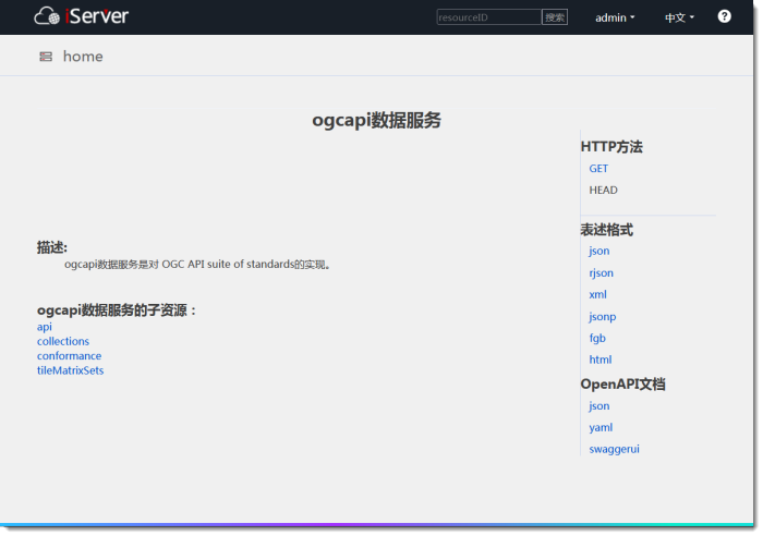
OGC API Child resources provided by data services:
collections resource is the list entry of the feature collection. You can view the basic information of the feature collection and the sets of tiles it supports.
conformance resource lists the specifications that this service implements.
tileMartrixSets resource is the entry of tile matrix set list, and you can view the details of tile matrix set.
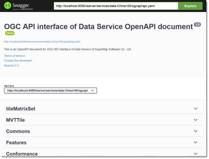
OGC API The data services provides an OpenAPI description of the service, and you can quickly learn how the API works, configuration information, and generate code to access the Web service.